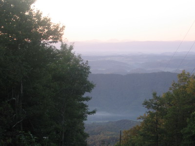
It was nippy on top of Clinch Mountain this morning at first light. The aromas from Alona Kennedy's gourmet breakfast wafted through my tent, there was no question about lounging about. The Kennedys look after their guests. I was given fresh vegetables last night, and breakfast was beyond what I could have ordered in any restaurant I can think of. Fresh fruit salad, pancakes with bannana sauce. Eaten in front of an early morning view of the mountains of Virginia, North Carolina and Tennessee. Wispy fog in the valleys, really a magnificent scene.
Today unfolded into one of those perfect September days to be riding a bicycle through this part of Virginia.
I caught a ride with all my schtuff out to the pavement in Charles' red F250. Good taste in trucks. Got me thinking about all the diesel fuel I haven't run through mine over the past 2 months.
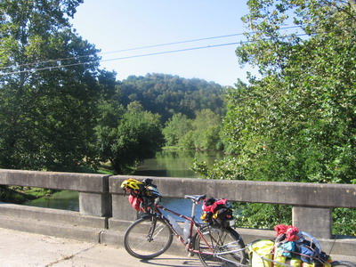
The twisty 4 mile coast down to Hayters Gap involved no expenditure of energy. I was downright cold by the time I got to the bottom of Clinch, through the gap and across the Saltville Fault and the Holston River. Then I was back at the bottom of the pile of gray rocks, and the several miles of climbing up through the section to Meadowview warmed me up. This stretch of road was devoid of traffic, I pedalled by outcrops I had looked at with students when I was helping out teaching the Virginia Tech geology field camp out of Saltville.
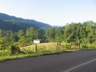
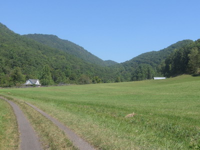
East of I81 the terrain on the Pulaski fault block is more gently rolling, and I fly across the countryside toward Damascus.
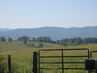
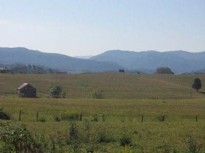
There were notes I've read on the internet, and at various hostels about all the time you can save by riding up Route 11 from Meadowview to Wytheville, instead of going over to Damascus, then up through Konnarock and Troutdale. There wasn't much question of which way I would go today. As it turns out, this segment of the ride stands as one of the best so far.
In Damascus I sought out a bike shop that might have cleats for my Speedplay Frogs. Damascus Adventure actually had some, they broke open a new set of pedals and sold me the cleats! This was very cool, I had figured I wouldn't see any frogs or cleats thereof until I got back to Charlottesville. I was thinking about getting something FedExed to Blacksburg, where I'll be this weekend. I was able to clip in on the down stroke and could ride the bike (obviously), but I'm also into pulling up some on each pedal as part of the stroke, that's where my fot would come loose.
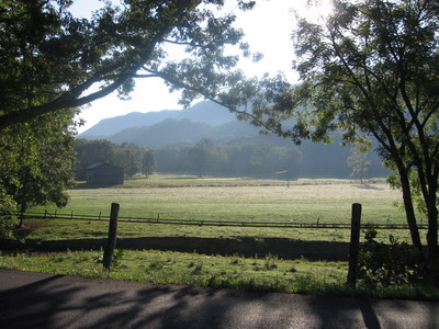
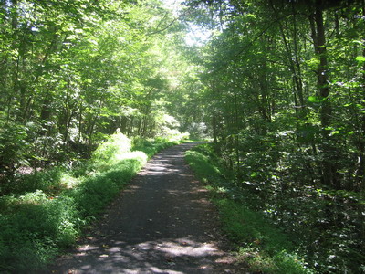
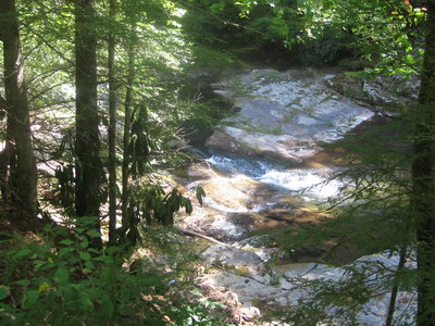
Leaving Damascus I rode the Virginia Creeper Trail for 10 miles or so up toward Konnarock, where I got back onto paved roads. This segment of the Creeper runs along Whitetop Laurel Creek, which is one of Virgnia's great trout streams.
 there's trout in them waters
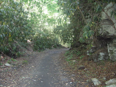
I used to come down here from Blacksburg and go fly fishing when I was in graduate school (yeh, those geology PhD folks have a pretty easy time of it)...at that time the railroad ties were still there, and you had to hike in. I wonder if the fishing is still as good now that it's easier to get to. I have to say the riding surface of the Creeper is not as good as the crushed limestone bed of the KATY Trail (maybe there's a new career here--evaluator of bike trails); the creeper has a lot of rock in the bed, and lots of fine coal dust that gets stirred up and all over everything. But it's a great trail, Rhodadendrons and hemlocks arching over, towering outcrops of volcanic rocks and glacial deposits of conglomerate. Plus there's the creek right there if you want to jump in. Lots of bridges. It's a different gig from the KATY.
I emerged onto the pavement around halfpast hungry, headed for a supposed restaurant a few miles beyond Konnarock. There's a Bianchi cross bike and hydration gear parked outside the restaurant, the rider's paying his tab and getting ready to leave as I walk in. I tell him he can't leave yet, I'm starved for cyclist interaction. Shawn & I have good conversation over my sumptuous repast. He's out training for some monster 400 mile crazyguy challenge event in October. I'm going to show up with BOB & run circles around them.
The ride from Konnarock to Troutdale, then over to Sugar Grove and eventually Rural Retreat was great.
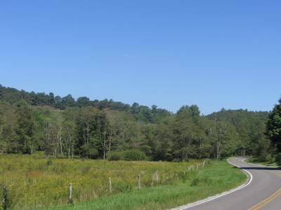

The way the sun was hitting the trees, weeds and landscape made everything vibrant. I'm above 3500 feet for a while, it's autumn here, leaves are turning bown and falling off trees; I pass a couple of apple trees bowed down with overripe fruit.
From the divide north of Troutdale, it's more downhill than up all the way out to Rural Retreat. I'm about 65 miles into the day, but I eat up the roads, freshly paved, running in the big ring for the first time in a while. It's nice to be able to ride the bike in the drops at speeds approaching where I'd be without BOB (maybe my legs know the finish is in sight).
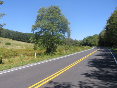
After Rural Retreat it's 11 miles up Route 11 to Wytheville. Route 11 is, well, Route 11. I could ridden 11 up here, bypassed all this neat country I've ridden through this afteroon, saved about 20 miles, and gotten to Wytheville a couple of hours earlier. But Wytheville is, well, Wytheville. I also could have ridden along the shoulder of I90 across Montana.
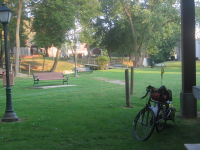
I'm camped in the park behind the Community Center in Wytheville. It's a couple of blocks off Main Street downtown, I'm headed that way for some dinner.