CNN was full of the unfolding Katrina aftermath this morning as I fixed & ate breakfast in my motel room, and packed my stuff. There's an American disaster of unimaginable proportion unfolding down there, and here I am riding around on my bicycle. We all share in some way the burden of Katrina. It would be a good thing if each of the people following this website would contribute to the relief effort. I'll ask Jonathan to set up a page where people could sign in with a first name, where you're from, and which organization you contributed to.
The skies were blue and the wind out of the northwest as I navigated by GPS through the side streets of Carbondale, from the land of shopping malls to the ACA TransAm route south of town. I stayed east of the north-south railroad that cuts Carbondale. This line carries The City of New Orleans train between Chicago and that city, there's a spiffy AmTrac station downtown. I bet the south-bound schedule is not what it was last week.
As I make my way south I become increasingly involved with SIU and related traffic. The GPS map says I'm within about a hundred feet of Springer Ridge Road, which is the near-term goal, but I'm in a parking lot with no southern exit. I pull up to an idling car and chat. "Oh, you're right there, but you can't get there from here". Chain link fences surround this end of SIU, I end up back-tracking a mile or so before I can arrange an escape route.
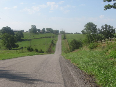
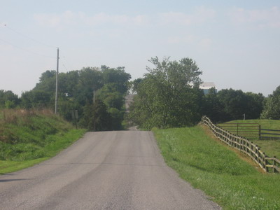
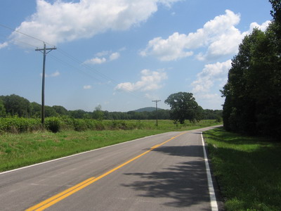
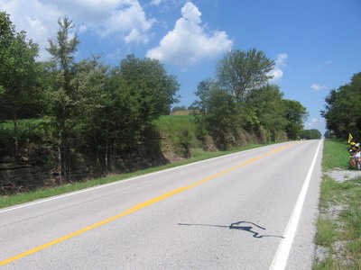
Southern Illinois countryside could be Virginia. I'm out of the flatlands even though the rocks are flat. The rivers have cut down through the bedrock and created topography that rolls, the trees are green hardwoods, and the roads are not straight. There are orange-weathering sandstone outcrops in the ditches.

 that's a steep one !
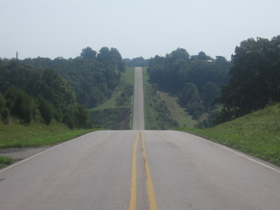 so's that one!
The route takes me through Crab Orchard Wildlife Refuge. The woods I pass through are rich with sounds of tree frogs and insects. Good pavement, no traffic, there are reasons to do the ACA roads, even though there's usually another route with fewer miles.
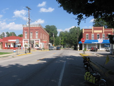
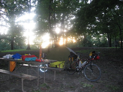
In Goreville, about 30 into the day, I did the breakfast thing at the cafe.
The conversation is all Katrina. The waitress has relatives in Mobile, doesn't know what's going on with them.
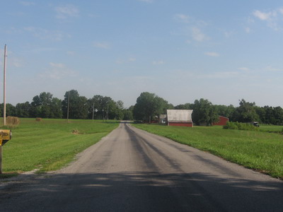
Between Goreville and Elizabethtown I have flashbacks of Missouri. Not the drivers or the crash but the hills. But hey, I dig hills. It's the same scenery, you get lots of time to enjoy in on the uphills, and make sure BOB doesn't get out of whack racing down the other side. On occasion there's actually a road cut! This means the road builders have spared me from riding up and over some ridiculous hill, but also there's geology to look at. I don't remember a single roadcut in Missouri except on the KATY Trail, which is/was (duh) a railroad. I'll take this over a flat road, I end up making about the same time.
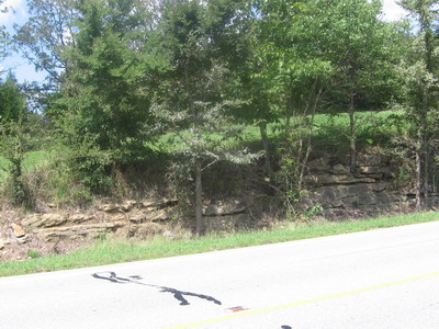
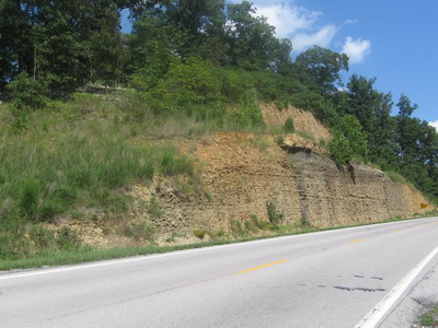
The rocks in the cut are a sandstone & shale sequence with a coal bed stuck in beneath the sandstone. Probably Late Paleozoic. I've ridden by a couple of small operations that are quarrying the slabby sandstone for decorative rock or flagstone. Looks like it would work well in our sidewalk at home, maybe I should throw a few pieces on the trailer.
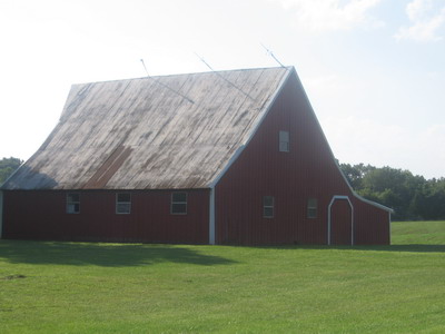
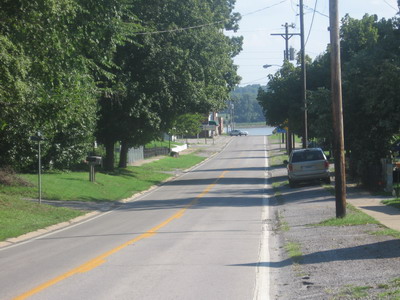
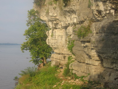
At Elizebethtown I first see the Ohio River. This is a neat little river town. There's a very nice looking bed & breakfast here. Would have been a much nicer place to wait out the storm than Motel6 in Carbondale.
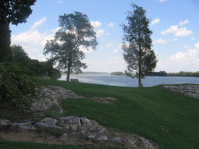
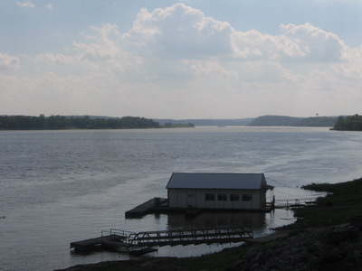
On to Cave-in-Rock, where tomorrow morning I'll take a ferry across the Ohio River into Kentucky.
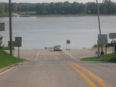
At Cave In Rock State Park, ranger Rick asks me what route I took over from Carbondale. When I tell him I came through Goreville, he says I took the long way. He always tells westbounders to take RT13. There's lots of traffic, but it's flat and has a wide shoulder....
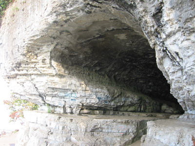
The cave in the rock is in limestone cliffs along the Ohio River. The limestones are stratigraphically below the sandstones & coal exposed at the surface at higher elevations, inland from the river. The limestones were deposited in a shallow inland sea that covered what is now Middle America during much of the Paleozoic.
Tomorrow: Kentucky. I have my can of Halt mounted within easy reach.