For the moment this is the grand old hotels tour.... I managed to leave the Ruebel up in Grafton this morning around 9, after some great breakfast conversations with other guests. About 85 miles later I'm still 20 miles or so short of the Washington County Conservation area campsite, the day is late, it's time to stop. What should I happen upon but the Original Springs Hotel in Okawville.
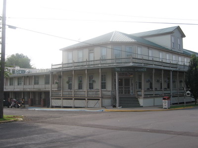
This one comes with mineral hot springs and massage services for battered & bruised trans-contintental cyclists that happen by. I promise I'll be back in the tent tomorrow night.
I avoid urban areas if I can when travelling by bicycle (motorcycle too). I've driven and ridden a motorcycle through St. Louis a number of times. If you're trying to get to the snowy mountains of Colorado from Virginia, it's sort of inevitable that you deal with St. Louis. I've never had reason to stop and find out what's there, it's always been something to get through. Or around.
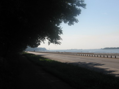
Today it was get around by going east and then south. In the process I learned that St. Louis has a great network of regional bike trails that extend for many miles. I entered the system when I got off the ferry above Grafton the other day. Today I spent much of the morning on a paved bike trail running adjacent to the Mississippi River. There were lots of recreational cyclists out & about on this sunny Saturday morning.
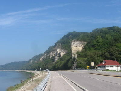
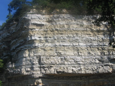 limestone cliff above Alton
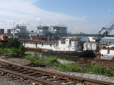
In Alton I became distracted photographing river stuff and ended up in a marina parking lot, but that led to a great conversation with a guy I asked for directions. I planted a seed, I bet he rides across the country sometime in the next few years.
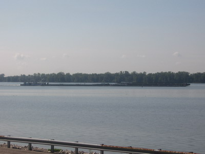
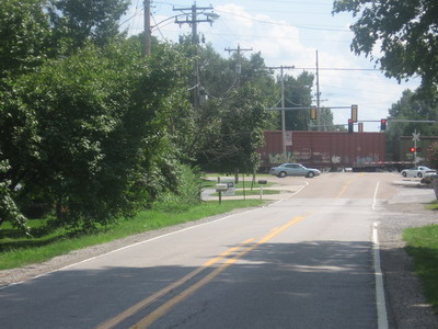
Below Alton the trail runs past Lock and Dam #26 on the Mississippi.
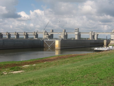
pulled in and checked it out. The principles are ancient and simple, a rising tide floats all boats. But the gates are massive. I think about a time when I was a young kid, when my family rented a houseboat on the Tennessee River during a vacation. We went through the TVA locks at Guntersville, Alabama, and I remember those walls and gates were very imposing once they had let all the water out & lowered us to the next level.
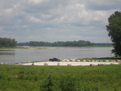
At Hartford the trail was running on the levee a good ways in from the river. I took a spur trail to the first L&C campsite, and photographed what I think was the onfluence of the Missouri and the Mississippi. The GPS said so, but there are so many islands in the rivers in these parts that it's hard to tell what I was looking at.
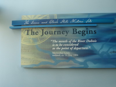
I rode back to the L&C interpretive center and joined some folks I had met earlier on the trail, for a bite to eat. Buck and Christie were out on a training ride for a local MS150, they had started at the big arch in St. Louis and ridden 30some miles up to Hartford on bike trails.
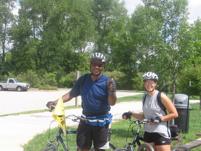
They were headed across the river on a bicycle-friendly bridge, and back to the big arch. This is cool, there are 10s of miles of trails. Buck's from Richmond, headed back for a family reunion. I tried to get him to ride with me, but it sounds like he's going to fly instead...
After lunch I headed east on bike trails toward Edwardsville. Somehow I ended up on something akin to the trails at Walnut Creek park in Albemarle County, Virginia. Which is to say, I was draggin BOB across rocky & rooty & muddy single track. Ah, adventure travel. Ain't it great?
Eventually I emerged onto a paved road, located myself, and put the compass on east. Within a few miles I was out of Edwardsville, into gently rolling farm country with drought-burned corn fields. I had escaped the clutches of metro St. Louis! Using the Illinois bicycling map, I picked a route south and east on low traffic roads. The northwest wind was nice. Good day.