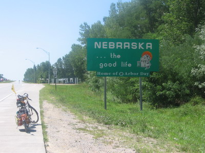
Yes, Jackie I've made it to Nebraska.
Lewis and Clark camped at this site on July 15, 1804. It's taken me about 3 days to get down here from Elk Point, South Dakota, where L, C & company camped on August 22 of that year. It took them about five weeks to cover the distance on the river. The sign here says Clark was walking the Nebraska shore and mapping it, rather than dealing with getting the boat to go upstream (sounds like a good move to me). Those guys had to spend time hunting and gathering in order to survive; the only hunting I do is for non fast-food restaurants. All in all, it's probably a hell of a lot easier to ride a bicycle downstream in 2005 than it was to pole a boat upstream in 1804.
Today's been an interesting day (but aren't they all?) I started out leaving camp without my sandals strapped onto BOB. Only got about a mile down the bike trail before I realized it & returned to camp to do the retrieval. My family may be amazed to hear that I have yet to lose anything, or leave anything behind, although I've had some close calls.
I made my way back to the big bike trail intersection, and got on yet another trail to take me south and farther out of town. There were numerous locals on bikes at 7:30 AM, I chatted with a few.
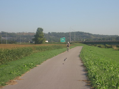

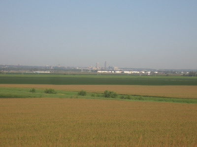
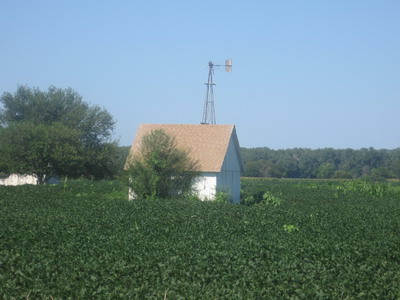
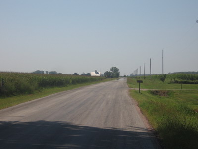
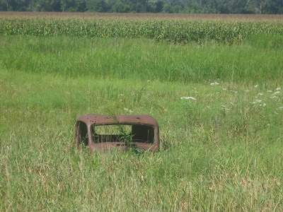
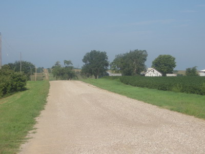
The weather has been clear, with a light breeze out of the northwest, which equals good cycling if you're headed south. The route takes me down along the Missouri flood plain; initially wandering along the base of the loess hills to the east, then over toward the river through fields of corn and soybeans.
I don't know what the deal is with the cold front that came through last night, but by lunch time it's about 95 degrees outside and humid. I don my red-bandanna-underneath-the-helmet arrangement; when I pull into country stores for Gatorade the locals are huddled next to window air conditioners.
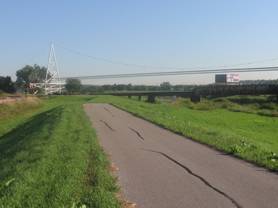
I arrive at a point of decision on the ACA map. I can either stay wandering around in the predictable, flat flood plain on the Iowa side of the river, or I can cross the river into Nebraska and get involved with a bunch of hills and gravel roads that ultimately dump me into a converted railroad - bike trail called the Steamboat Trace. Anyone care to guess which option I opted for?
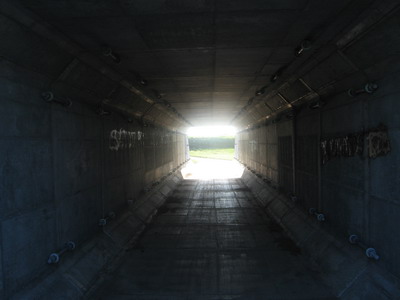
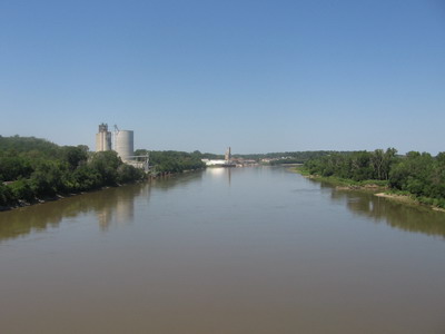
The bridge over the river was an inclined four-lane affair with shoulder, not very photogenic, designed to get everybody up to the top of the bluffs once they cross the river. So I climbed across the river & up to the top of the bluff in the heat of the day, stopping in the middle with trucks blowing horns at me to get a pic of the river.
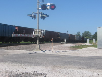
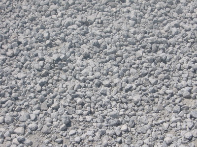
Shortly thereafter ensued a situation that had me using language that might have alienated church-going Nebraska country folk who were within earshot. The route to the trailhead of the railtrail thing took me off the well-paved four-lane and onto the gravel road from hell. It had just been graveled with about 4 inches of round, marble-sized limestone, and I could not ride the rig on it. The front wheel would wash out, the trailer wheel would bog down, and I would fall unceremoniously down with everything else. In the 95 degree blazing sun. The GPS offered no solution in the way of another road for about a mile, so I was forced to half walk, half ride at a crawl along the side of the road. At this point if someone had come along with a pickup truck I would have flagged them down and asked for a ride. It was ridiculous.
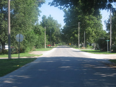
Eventually I reached the intersecting rural county road, and it was paved. Nicely paved in concrete slabs with no discontinuity between slabs. Nice road, Nebraska! This took me to the trailhead.
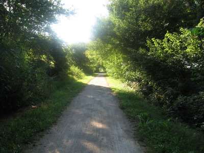
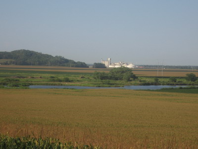
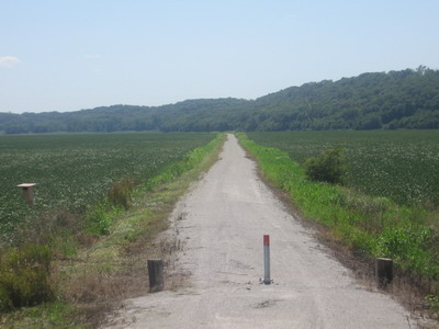
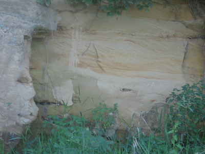
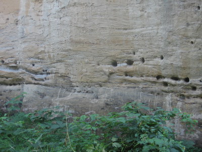
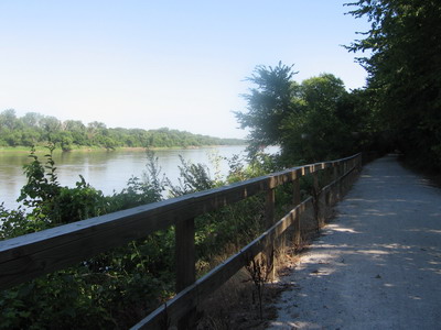
The Steamboat Trace was a great change from what I've been doing. The old railroad, now paved in fine limestone gravel, follows an even grade along the foot of the bluffs on the west side of the river. Much of it is in the shade, which was wonderful on a day like today. The thing passes partly through floodplain wetlands that are not being farmed. The sounds of the frogs and insects are deafening, there are all manner of birds that I cannot identify. In places the trail goes by thick, flat-lying beds of cross-bedded calcareous sandstone or dirty limestone. Birds or insects have bored holes into the rock for nests. Human players have carved their initials.
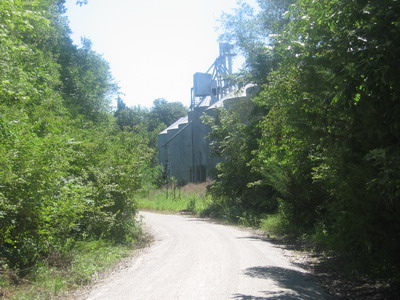
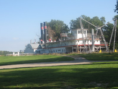
I pull into the depot at Peru, Nebraska with fuel and water gauges sitting on Edward. Hobble the rig up a hill paved with brick to town, and yes! there's a cafe with a few pickups outside. All is well. Revived after a good meal and a couple gallons of iced tea, I went next door & did some grocery shopping, then went and got back on the trail for the last 8 miles down to Brownville. I am camped in the shadow of a beached side-wheeler river boat, the Captain Meriwether Lewis.
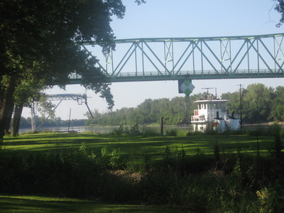
I've soaked in the river, life is good.