About a mile up the road I turned right onto ND 37,and headed south into the metropolis of Parshall. At that turn I was at my northernmost latitude on this trip, and from here on it's all more or less south for a while (everyone knows that means downhill), then some easting through the land of bluegrass, horses and ill-mannered dogs to the Appalachians. Which I will no doubt cruise effortlessly in the big ring after all this conditioning I've been doing in places like North Dakota.
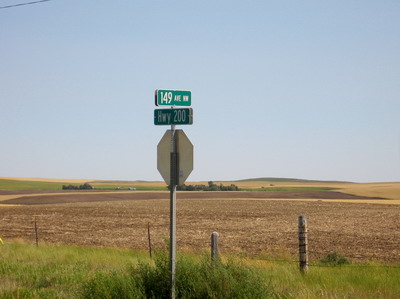
When the state of North Dakota got the guy in to do the topography way back when, they also commissioned someone (must have been a New Yorker) to lay out a rectilinear street grid for the whole state that's just like Manhattan (except there're more N-S avenues than E-W streets). I've been in the upper west side for the past couple of days, came in from Montana at about 150th avenue and 30th street (most of these are dirt roads). Midtown is going to end up somewhere down around Bismarck the way the numbers are going. They can just look east to New York to see how the whole thing will will look when it gets built out, no need to hire long range planners and such.
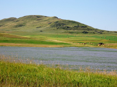
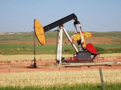
The ride this morning east from Watford City went through rolling green countryside with an occasional field in bloom with bright blue flowers, and an occasional oil well. The vegetation is all vibrantly green with all the rain there's been this season. There are wetlands with waterfowl, and when I drop much below 8mph on the grades, there are these little green headed flies that are able to alight on me and inflict intense bodily pain. I perform stretching exercises swatting flies while at the same time working to keep the rig in a straight line.
At some point I cross into the Fort Berthold Reservation, and the landscape is not so vibrant. The wind is now a factor in my day, blowing strong out of the north, which equals a port side cross wind on my mostly east bound course. This plus temperatures in the mid 90s add to my fatigue factor, and I stop for Gatorade on the west side of the Missouri River crossing west of New Town. As I sit in the shade and recoup, three different sets of local people drive up and ask where I've been and where I'm headed. Very friendly & outgoing folks.
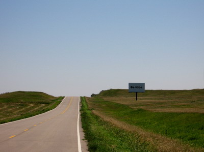 sign says "Be Nice"
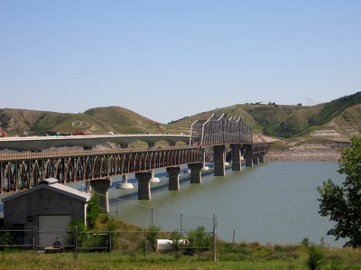
I cross the river (which is actually a big lake) on the old narrow bridge next to a new one being built, scheduled to open this fall. New Town is in a state of paralysis with the heat, I resupply with food and drink, then decide to press on with the 17 miles to Parshall before stopping for the day.
North Dakota highways so far consist of 30 or so foot blocks of pavement with tar poured into the breaks between the sections. This particular highway construction strategy takes its toll, as every thirty feet there is a jolt through the handlebars, then the seat, then BOB takes a hit (he deserves it). I continue to explore various portions of the roadway that are accessible to me, in attempt to find the smoothest ride. It seems that from the white line over onto the shoulder is best, not having been subjected to countless loadings of loaded truck wheels.
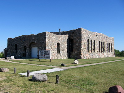
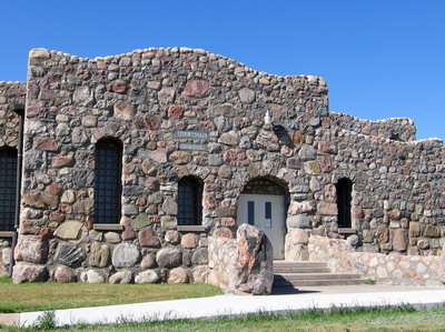
At Parshall there is what signs claim to be an internationally significant rock museum. As a geologist I felt compelled to check this out, but the place was closed when I pulled in. Architecturally interesting for sure, I achieved photographic documentation.
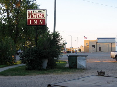
I made an executive decision to escape the wind in the Parshall Motor Inn. The other tenants are workers on the nearby oil drilling rig. There's been beer & conversation, they're down about 4300 feet headed for 8000 and they're hiring.