Dawn was cloudy on the Missouri River at Fort Benton today.
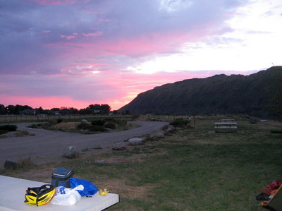
I was up at first light, packed up & rode into town to the restaurant that was supposed to open at 6AM. There was no sign of activity at 6:30, so I decided to make the 26 mile run to Geraldine for breakfast.
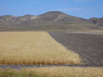
Montana Rt80 east takes off across the river from town, then climbs the several hundred feet out of the canyon back up to the plateau which, I figured out (duh) is part of the bread basket, not the fruited plain. Wheat is being harvested on a massive scale, it's me and the grain trucks motoring up the highway in the early morning light. Some of the drivers are staying in the campground I was in last night, they give me plenty of room & a friendly hit on the air horn as they pass by. These guys chase the wheat harvest with their rigs, I talked to folks from Texas, Oklahoma and Kansas last night. The high cost of diesel fuel is going to be passed right on to guess who?
Rt 80's a great cycling road, not just straight & flat.
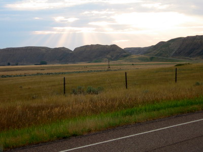
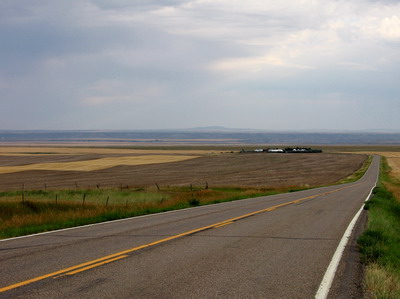
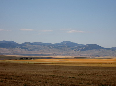
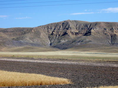
It cruises through the wheat country, and dips down through sage et al when it crosses drainage's. I think the geologic deal here has to do with an ancestral lake created by a massive ice dam on the Missouri during Wisconsin glaciating. There seems to be a bunch of glacial drift on top of the black shale, which maybe is why it's so fertile. The terrain is hummock, which gives the road some of its ups & downs. The extraterrestrial mountains are off to the south now, somehow they look more forgiving under cloud cover. There might be trees there.
The sun came out a few miles before Geraldine. I was standing by the side of the road putting sunscreen on and a lady drives up in a pickup and asks if I need anything. First non grain truck all morning, and she stops to check on me. There is, after all, great vastness here, and we need to look after each other. Friendly people.
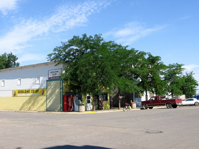
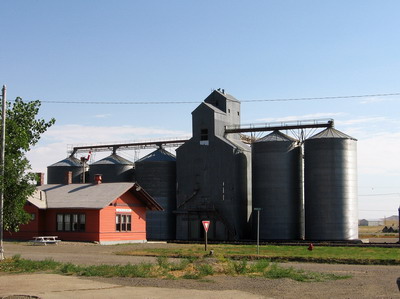
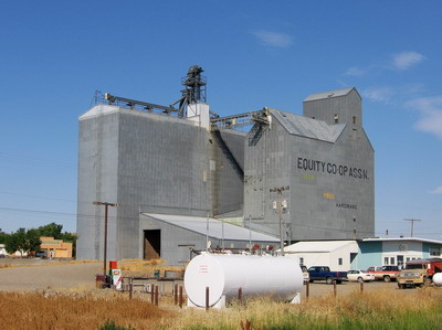
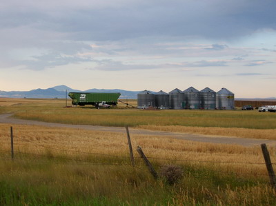
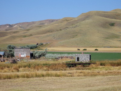
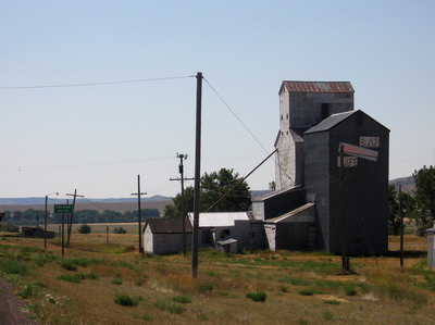
Geraldine is, well, out there. Massive grain elevators are at the head of a rail line that seems to head east and south. The only game in town for shade, food and liquid refreshment is the bar. I was the only customer, the bartender cooked me up a great breakfast which I ate within range of a rented portable air conditioner that had been placed in the middle of the room. It's 10AM and it's already in the mid 90's.
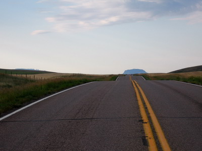
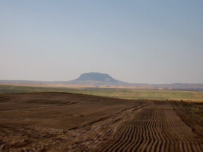
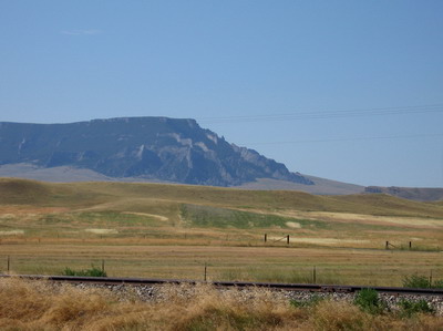
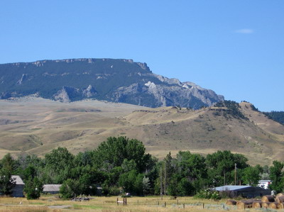
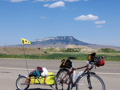
Onward & eastward. For much of today I've been involved with Square Butte. Lewis & Clark and other travelers before me have been involved with Square Butte. It was there on the horizon when I first crested the canyon rim. East of Geraldine I pass close by to the north of it, looks like a volcanic neck with a bunch of dikes radiating. Apparently there's a granite in there someplace, as they used it to build the old jail in the town of Square Butte.
 dikes radiating from Square Butte
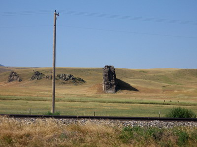 disabuse dike near Square Butte
 old jail at Square Butte
The road took me around the back side of the Butte, then up an awful climb out of the Arrow Creek valley. There was an historical marker in the valley that talked about how everyone since the beginning of time had had trouble with the climb east from Arrow Creek. Stage coach drivers went out on strike demanding an easier route. Thanks for the heads-up, guys.
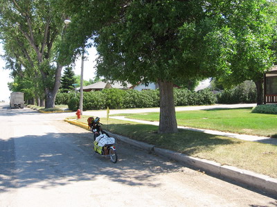
Denton was blistering hot, the only saving grace being my buddy from the west, to the tune of about 20mph. I found a big cottonwood tree on Main Street (the only street) & did the peanut butter thing.
Went into the food store & bought gatorade and filled all the tanks with water at the back sink. There was a kid in the store having a temper tantrum. I told him he'd better get his act together or he'd have to get on his bike and ride with me. That broke his rhythm, and brought laughs from folks who didn't know quite what to make of me.
From Denton the road & wind carried me down to the Judith Creek or river or whatever the hell it is (hey, it's been a long day). Then ensued a thousand foot or so ascent along Warm Spring Creek, passing north of the South Moccasin mountains. This was cool. Even though it was hot. There's more water here, a few trees, the terrain reminded me somehow of carbonate valleys in Virginia. It looked like granite rocks near the "gigantic warm spring" at which I did not stop because at that point I was 90 some miles into the ride, and really craved a gigantic cold shower. I'll look at the geologic maps when I get back & update.
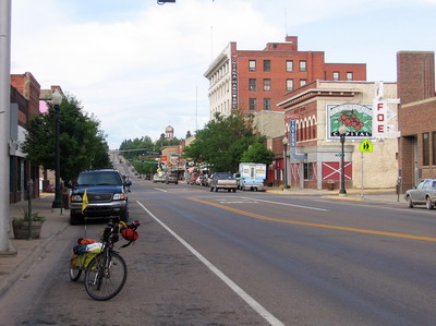
I'm camped in a rather distasteful RV park in Louistown, but the showers are good. The wind came up, and rather than fooling with cooking, I've ridden into town & am eating at a cafe on Main. That's all folks.