Today began with breakfast with the west bound group....seems they followed US 2 across the top of Montana instead of traversing the middle of the state (on roads less traveled), as I am planning. So I didn't learn a lot about what's ahead. But breakfast was good and so was the company. The waitress opened the place up early just for us so that we could get on the road.
The 30 or so miles into Great Falls took me east along the flood plain of the Sun River. It was a pleasant Sunday morning with no traffic. Some folks were still in bed, some were in church, and some were in the occasional bar/saloon/ casino I passed, as these places seemed open for business.
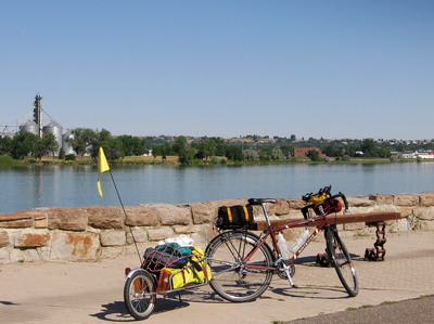
Traffic had picked up some by the time I got to Great Falls. This was my rendezvous point with the Missouri River. I'm going to be involved with this beast more or less all the way to St. Louis. As were Louis & Clark. The city of Great Falls has a network of paved bike trails that run along the river. Weekend cyclists & joggers were out and about.
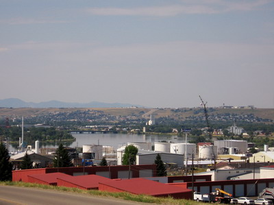
It was getting hot, I decided to go up the road a bit before taking a lunch break. I crossed the river a second time & headed up the west bank on US87, past the Montana Refining Company--a vast array of pipes and tanks exuding a distinctive petro-fragrance. This operation has a commanding presence on the skyline from across the river. Looking back the other way from above the plant, it's clear there's a lot more to Great Falls than what I took in on my brief tour...another time.
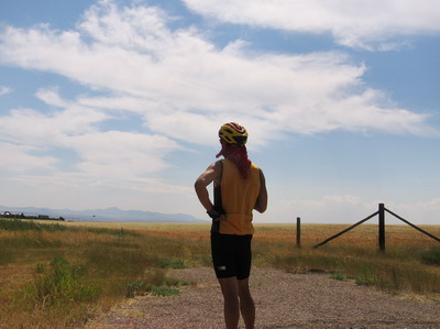
As I reach the top of the arid plateau bordering the river and see the road stretching off into the horizon, it becomes clear that it will be a while before I come across a tree to have lunch under.
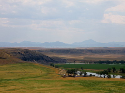
The river runs in a canyon I'd guess 4 or 500 feet deep, carved in black shale. US 87 runs within a mile or two of the canyon, and I sometimes can see the far wall in the distance, but I ride through parched lands that are cultivated in part, not sure what the crop is, and range land. There are mountains off to the south who's name escapes me, but they're far away and forbidding looking. The cumulative effect is similar to when I rode the so-called extraterrestrial highway in Nevada on my R80G/S a few years back. Which is to say, a bit spooky. You'll dig it Jackie, it's your kind of thing.
The first tree I encountered was a lone cottonwood in a place called Carter. It was outside a saloon that was not doing business today, and looked like it was not going to be doing business tomorrow either. But there was shade, and a couple of historical signs refer to a ferry across the Missouri at Carter. Is there a river here? It's hard to believe. But peanut butter on a bagel is peanut butter on a bagel, river or no river, in the shade.
I press on toward Fort Benton. The winds are doing their usual thing so me & BOB are cranking along in the big ring high gear, doing 20mph. This is nuts! Gary Elley is riding his bike up Pike's Peak today because he feels guilty for not riding with me across brown vastness, and here I am being some kind of prairie schooner. This grace period with the wind will end at some point I am told.
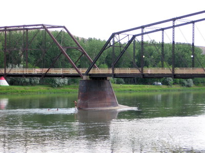
It's hot. Over 100F. Just like it was in Nevada that time. I've gone through another big gatorade since Great Falls. Eventually I come to a designated viewpoint, and there's the river, in all it's glory, just upstream from Fort Benton. What a sight to behold when it's over 100 degrees and you've just ridden 70 something miles.
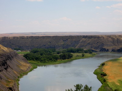
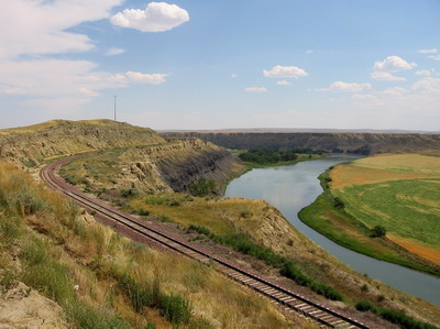
I immediately became focused on getting myself into the river. Looking at it is one thing, but total immersion is really where it's at.
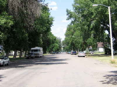
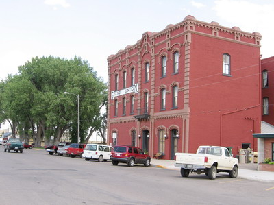
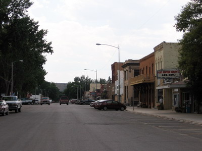
I ride down off the plateau into Fort Benton. What a great little town! This used to be the trade and cultural hub of all north western America. Fort Benton was the upstream limit of navigation by steamship on the Missouri River, back in the 19th century when people weren't coming to town by bicycle. Downtown riverfront is nicely restored, there are museums, restaurants and that kind of stuff.
But more significant, at the upstream end of town are the Choteau County fairgrounds. There is a place to camp right next to the river.
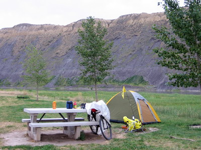
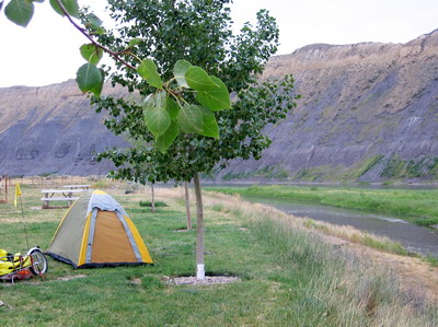
That's where I am, I've chilled in the Missouri& bonded, life is good.