The Salmon River canyon gets so rough downstream from White Bird that the early settlers couldn't run a road or railroad through it, so they built a road up over the mountain to what is now Grangeville instead, and down into the Clearwater drainage. Tonight I'm camped in the Lions' park in downtown Kooskia, on the banks of the Clearwater River (in which I just bathed & did the daily ritual of washing my cycling garb).
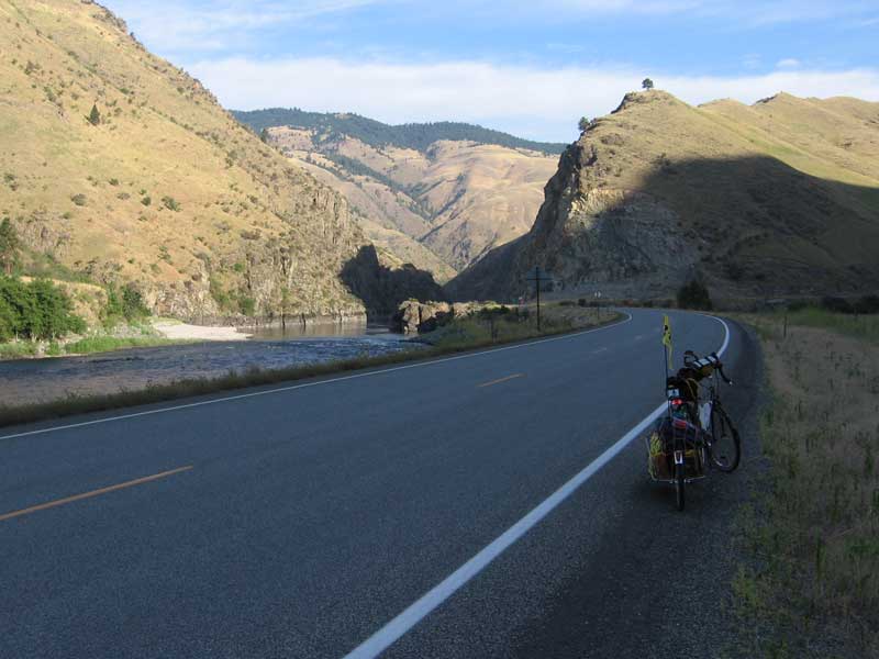
Pulled out of Riggins at dawn & had a wonderful cool and windless 28 mile ride down the Salmon River canyon to White Bird. The canyon runs through areas of uplifted igneous & metamorphic crystalline rocks, and in other places through the younger volcanic sequences stratigraphically above. Lots of neat roadcuts & rivercuts.
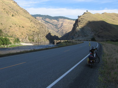
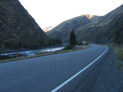 early morning along the Salmon River
I ran into westbound Jim Hammond, another cyclist I'd become virtually acquainted with through the crazyguy web site. We visited for 15 or 20 minutes at an overlook above White Bird. Jim's been on the road since May, I couldn't get enough of talking with him about his experiences in various places. But we both had to move on. Kudos Jim, you're almost home!
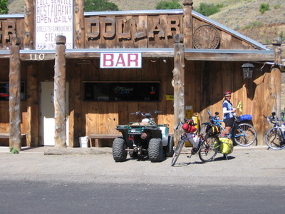
Breakfast at the Silver Dollar Cafe (I think that's right, we'll know when the images get posted) in White Bird. A colorful small town cafe/bar, my kind of place. I was able to draw the locals into conversation--they were talking about Lance when I arrived. Then we started talking about the 3000 foot climb out of town on old 95.....
The couple from Washington caught up with me in White Bird, and we assaulted the beast more or less together. I'm really pleased with the gearing I set up, I still had a couple of gears left by the time I got to the top, which means I can spin a high enough cadence to save my knees on these long climbs.
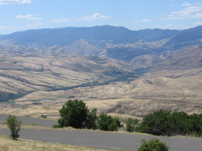 climbing out of White Bird...many switch-backs
Grangeville is in an upland agricultural area, still looks like hay & cattle rather than potatoes. Ate lunch is the town park, then did the 28 mile descent to Kooskia. Lots of logging trucks, narrow twisting roads. I'm on my mirror constantly.
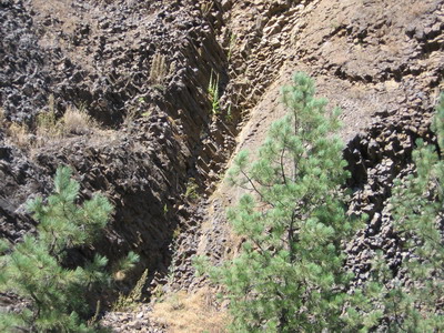 columnar basalt, horizontal columns (unusual)
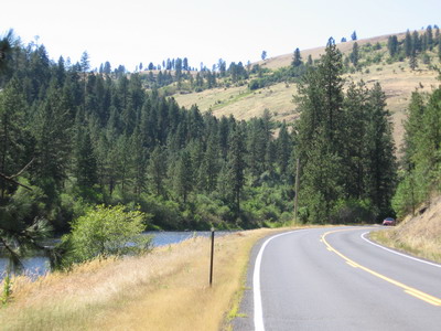 headed down the Clearwater River toward Kooskia
From here I head up the Lochsa River drainage toward Lolo Pass, I'm thinking about doing a short ride tomorrow & camping somewhere along the river before the pass. This is really neat country, and I want to spend another day in it before Missoula.
Photo of the day: